New Mexico Riparian Habitat Map
Version 2.0 Plus is available!
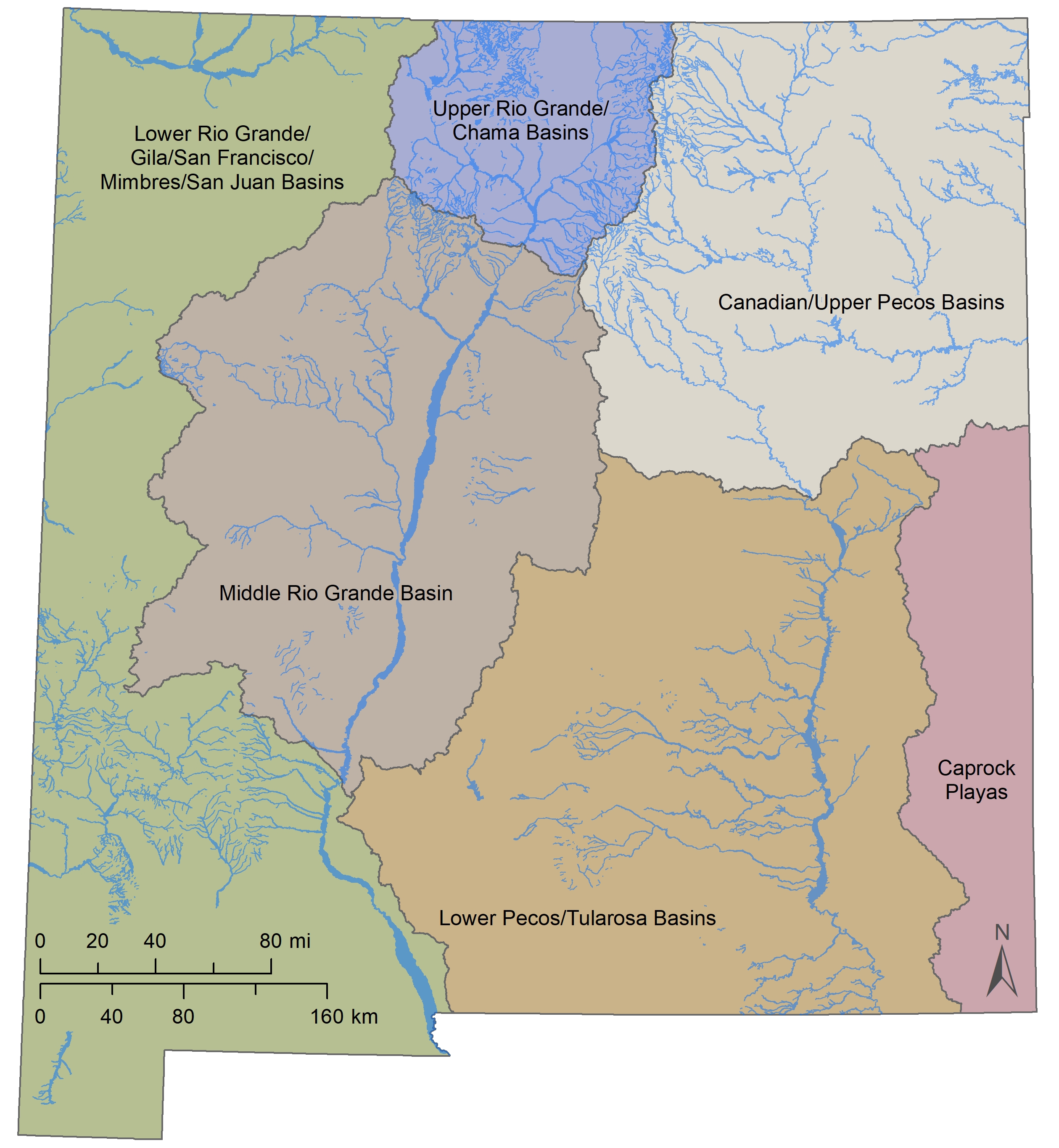
The New Mexico Riparian Habitat Map (NMRipMap) Version 2.0 Plus is a comprehensive, fine-scale spatial view of the composition, cover, and structure of riparian and wetland vegetation along New Mexico’s perennial streams and rivers (see User's Guide for details).
NMRipMap is designed to serve wildlife habitat management, wetland and riparian conservation and restoration planning, non-native species management, riparian monitoring design, identification of refugia, and more.
This project was made possible by the New Mexico Department of Game and Fish with additional support from Region 3 of the US Forest Service.
Muldavin, E., E. Milford, J. Triepke, C. Gonzalez, A. Urbanovsky, G. McCartha, A. Kennedy, Y. Chauvin, J. Smith, J. Leonard, L. Elliot, P. Hanberry, D. Diamond, and A.E. Clark. 2023. New Mexico Riparian Habitat Map (NMRipMap): Version 2.0 Plus. New Mexico Natural Heritage, Museum of Southwestern Biology, University of New Mexico; USDA Forest Service, Southwest Region; Missouri Resource Assessment Partnership (MoRAP), University of Missouri, and USDA Forest Service, Geospatial Technology and Applications Center (GTAC), Salt Lake City, UT. Accessible at nhnm.unm.edu/riparian/nmripmap.

