
Meeting the Emerging Environmental and Conservation Science Needs for New Mexico
NMRARe is now available! Stop in to learn about the rare, threatened, and endemic arthropods of New Mexico (insects, spiders, myriapods, and crustaceans). A collaborative project of Natural Heritage NM and Arthropod Divisions of the Museum of Southwestern Biology and the New Mexico BioPark Society.
Featured Topics
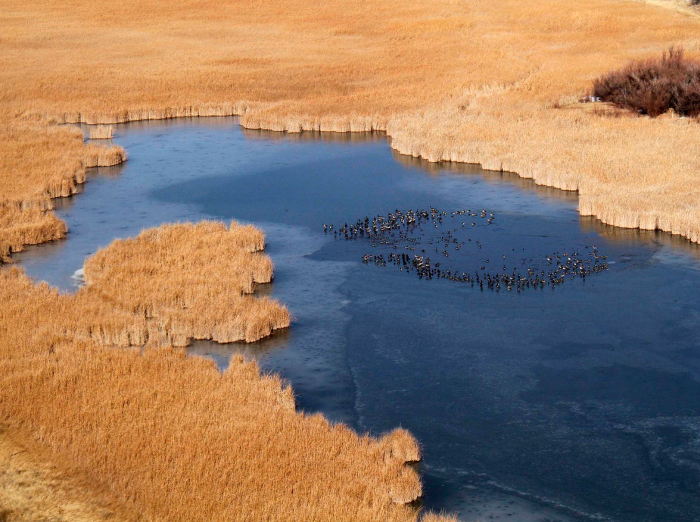
New Mexico Environmental Review Tool
The ERT is an interactive tool for conservation planning and New Mexico Department of Game and Fish (NMDGF) review of important resources for wildlife and habitats. Photo: Canada Geese in a hidden wetland (aerial) by Mark Watson
Riparian Conservation Opportunity Areas (RCOAs)
Based on a collaboration between Natural Heritage New Mexico and the National Wildlife Federation, the goal of the Riparian Conservation Opportunity Areas project is to maintain and enhance connectivity in the Upper Rio Grande for wildlife populations, especially in the face of climate change. Photo by NHNM
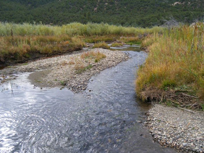
New Mexico Riparian Habitat Map (NMRipMap)
The NMRipMap provides a comprehensive, fine-scale spatial view of the composition, cover, and structure of riparian vegetation along New Mexico's streams and rivers to serve habitat management, restoration planning, non-native species management, identifying refugia, and more. Photo by NHNM